Most cave divers may wonder at the beauty of cave maps and may even use them for cave dive planning but few have learned how to make cave maps. I recently taught yet another survey and cartography cave course with Dirk from Germany. We both used CCR Rebreathers as our primary breathing device during the survey portion of the training program. The goal at the end of the program is to have a published map in your hand, made from your survey data.
Most people would think cave map making and the process of surveying is only for cave explorers but if you have a cave in your neighborhood that is already explored, if there are already permanently guide lines installed but no cave map does exist you many want to consider a survey and consequently producing a cave map. Permanent guidelines do not have to be taken out in order to conduct a re-survey. Knotted line can be used for the distance measurement or fiberglass tape for greater accuracy. The NSS-CDS published a great book called Underwater Cave Survey by John Burge with all the details needed to survey and cartography.
Besides cave divers for dive planning there are other parties who may show interest in cave maps might be the land owner for him to see what he has and locations of potential wells, local governments to decide where certain installations such as gas stations and landfills may not be placed, developers to decide where not to construct due to danger of collapse and environmental agencies for natural reserve planning just to name a few.
A cave survey is a slow process and there are at least two ways to go about it 1) survey in and 2) survey out. 1) During the survey in technique the first diver is laying the survey line and the second diver is taking the survey data. The big advantage on this technique is that in case there is a problem the team can exit much faster than entering the cave and no survey data is lost. The survey in technique is a team effort and requires at least two divers. 2) During the survey out technique the line is laid on the way in and the survey is done on the way out resulting in a delayed exit and if the dive needs to be aborted then the survey is ‘hanging’, meaning the survey date is not connected to the starting point. The only advantage of the survey out technique is solo diving situations, with all of their particular advantages and disadvantages.
A cave survey as well has the potential for negative impact onto the cave environment as the dive is very slow and we need to get very close to the survey stations (tie off) as well as the line in terms of potential entanglement or breaking the guideline. Very good buoyancy, trim and propulsion techniques are a must for a cave survey. If a cave map does already exist for a particular cave one should not conduct a resurvey of the cave in order to protect the cave environment. There is no reason to fuck up a cave just to get the survey data and destroy what we love so much.
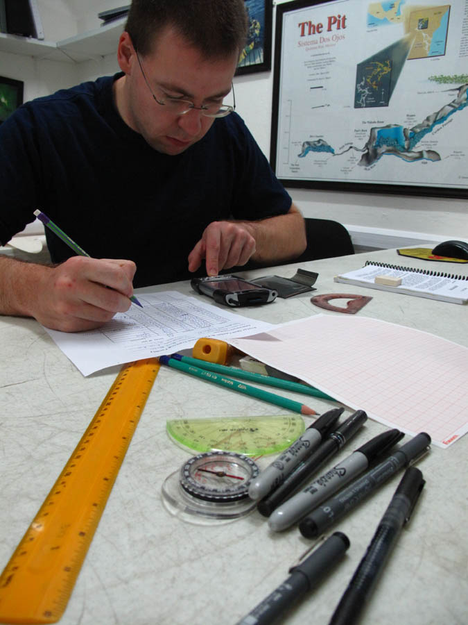
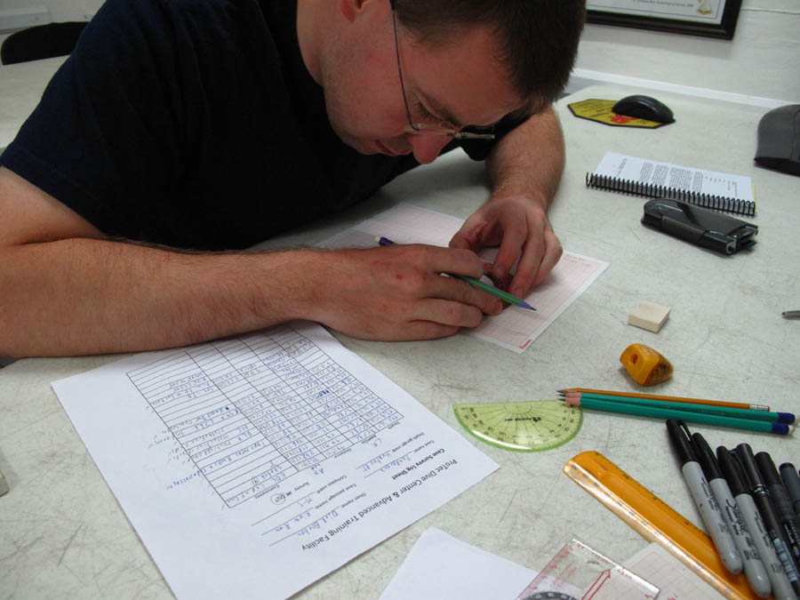
Once the survey data is collected the data needs to be saved on paper (my favorite) or electronically, or both. Line maps or stick maps can be produced in free software programs such as Compass. The data then can be imported into software programs such as Corel Draw and the map can be produced electronically.
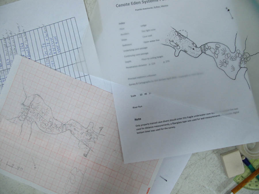
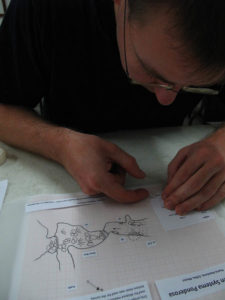
My favorite way of making a cave map is the traditional drawing technique as I see the map as a artistically expression of the cave surveyor and cartographer. The first step is to draw a working map with all the cave information drawn onto milimetric paper. The second step is to draw a copy onto onion paper with all the cave information drawn onto the paper. The third step is to print out all the information shown on a cave map such as names, locations, index, scale, symbols and notes. The last step is to go to a copy shop and have your map copied and ready you are to publish your art work. You even can send a copy of your cave map to the NSS-CDS as they do a yearly competition for the most beautiful cave maps.